'Breezy' cold spell for Nottinghamshire with final weekend of 2023 weather forecast
and live on Freeview channel 276
An area of low pressure which pushes in from the west on Saturday will be the most dominant feature in the forecast leading up to the new year.
During the early hours of Saturday (December 30) morning a potentially deep area of low pressure will move in from the west to affect Ireland and western parts of the UK.
Advertisement
Hide AdAdvertisement
Hide AdAs the system moves eastwards, the boundary between the area of low pressure and the relatively colder conditions further north and east will lead to a band of transient snow across some of the high ground of northern England and Scotland.
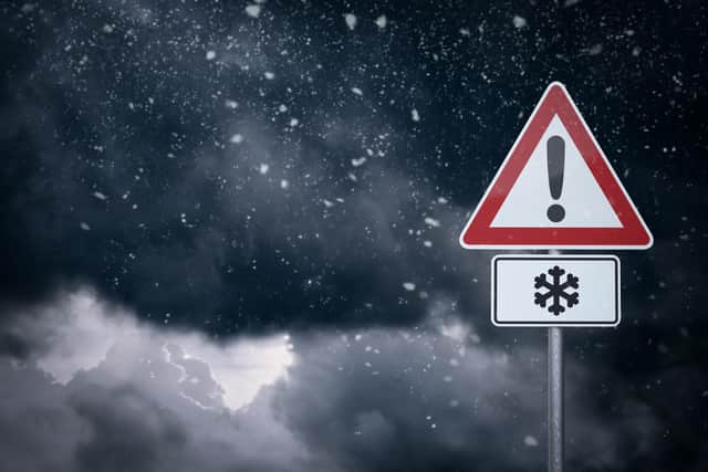

It is possible this snow could fall to lower levels for a brief period of time across Scotland.
Steven Ramsdale, Met Office chief forecaster, said: “This system is likely to bring a range of weather including hill snow.
“Heavy rain will spread across all but the far north on Saturday affecting similar areas previously affected by Storm Gerrit.
Advertisement
Hide AdAdvertisement
Hide Ad“However, this rainfall will be a step down from that seen during Storm Gerrit.”
In Nottinghamshire on Saturday, residents will wake up to a chilly start with the weather soon turning milder with cloud increasing to bring a spell of rain through the morning.
It will be largely cloudy and often dry during the afternoon, though it will become windy with a maximum temperature of 10 °C.
The outlook for Sunday (December 31) to Tuesday (January 2, 2024) is wind, with scattered blustery showers on Sunday.
Advertisement
Hide AdAdvertisement
Hide AdThe weather is expected to be drier by Monday with fewer showers, though still breezy.
The Met Office forecast shows weather will be mainly dry in the county, with lighter winds Tuesday.
Temperatures will be near or slightly below normal.
Looking further ahead into January 2024, UK weather conditions are expected to be more settled with colder-than-average temperatures.
“Through to mid-January, there is a signal for a shift in the pattern compared to the winter so far, with more settled and colder-than-average conditions becoming increasingly likely,” Nick Silkstone added.